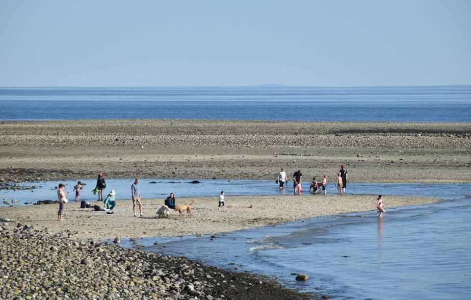
April showers bring May flowers, but temperatures rose and rose during this week’s dry spell, bringing broken records instead.
“It’s summer-like,” Environment Canada meteorologist Doug Lundquist told Coast Reporter on a sunny and warm April 16. “This would be an average day for the middle of summer.”
On Thursday, April 15, Sechelt and Gibsons both reached 22.6 degrees C, breaking records set last year, when the areas hit 18.8 C and 18.6 C, respectively.
The highest record-breaking temperature reached on Thursday, however, occurred in Squamish, where the thermometer peaked at 27.1 C at the airport.
On Wednesday, 18.6 C was warm enough to break another Sechelt record, held since 1974 when the temperature reached 17.8 C.
Temperatures are expected to stay unseasonably high through the weekend. “We’ll have other records all across B.C. up until Saturday or Sunday,” Lundquist said.
By Monday, however, a cold front is expected to roll through the region and long-range modelling is predicting temperatures near or colder than average for the rest of spring.
Environment Canada doesn’t release modelling on precipitation, but Lundquist noted this has been a week of “extraordinary weather.”
“I wouldn’t be surprised if we see ourselves perhaps returning to more showery weather later on in April or maybe into June. It’s not over. Our spring rains are not over yet,” he said.
In the meantime, people are encouraged to protect themselves from sun, with the UV Index at seven on Friday, and expected to remain high over the weekend.
“Get out, get some vitamin D. Enjoy the sun, it’s good for us,” he said, “but it isn’t good for us to burn.”


