A staff report going before city council Wednesday recommends the 38 areas previously established in Vancouver to protect public views of the North Shore mountains, the downtown skyline and select landmark buildings be reduced to 24.
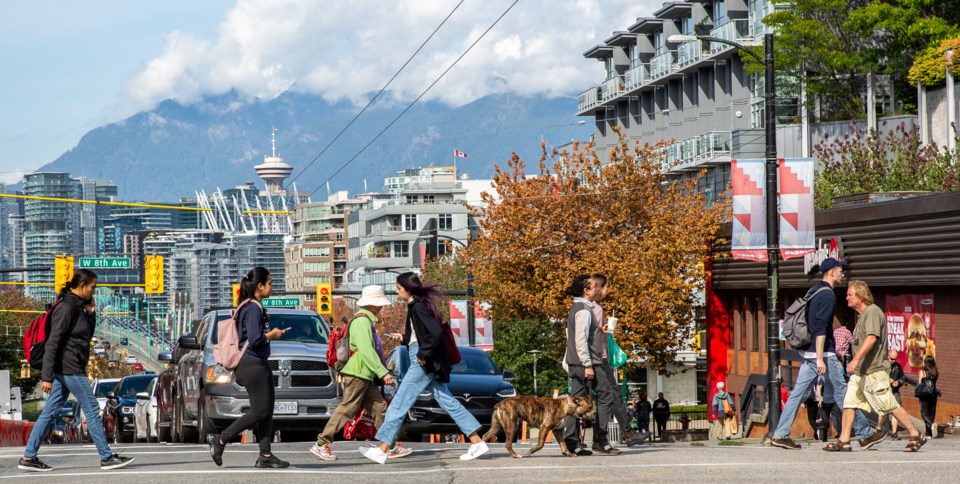
The 38 view cones currently originate from 18 different vantage points, including Queen Elizabeth Park and some of the city’s bridges and major streets such as Granville, Cambie, Main and Commercial Drive.
Views of the mountains and skyline at Choklit Park and the Laurel Landbridge in Fairview Slopes, which are now obstructed by trees and vegetation, will be among the areas no longer protected, if council approves the recommendations.
That would reduce the number of vantage points across the city to 16.
View cones from the Cambie Bridge looking north to the mountains and south to city hall at 12th Avenue and Cambie Street would also be wiped out, according to the staff report, which includes a list of the 38 views.
At the same time, staff has also recommended 11 public view cones be amended, which involves changing the vantage point, or splitting the view cone in two to allow development in the centre of the existing view.
For example, the current view cone of the mountains from the middle of Cambie Street near city hall would be moved to the pedestrian area behind the Broadway-City Hall Canada Line station.
The view cone from the Olympic Village pier is also recommended to be redrawn and split to allow for potential development in select areas of the Downtown Eastside. Other view cones are recommended to be shrunk in width or height.
“If during future area planning work, potential new views or changes to existing views are identified by staff or residents, these will be brought to council for consideration,” the staff report said. “As well, staff will continue to monitor the impacts of views and bring proposed changes to council as appropriate.”
The motivation for reducing public view cones and amending vantage points is connected to motions the ABC Vancouver-led council approved in October 2023, including one titled “modernizing the city’s view protection guidelines to unlock new housing.”
'Exceptional sites'
Staff’s analysis of the 38 view cones looked at how to “balance development and growth with maintaining a livable city that celebrates its unique connection to the surrounding landscape.”
In doing so, staff considered how to increase the delivery of housing, jobs space and hotel rooms in making the recommendations, which also potentially allow taller buildings on four to six “exceptional sites” downtown.
Staff has estimated 15 million to 25 million square metres of “development capacity” could be in play, if council passes the recommendations in the report. Staff estimated five to 25 per cent of land parcels could be developed within the next 30 years.
The report comes as the Broadway Plan continues to unfold, which has seen towers replace low-rise buildings along the corridor. The provincial government has also pushed municipalities such as Vancouver to build highrise housing in transit areas.
Protecting public views in Vancouver has been a long-held concern of citizens, forcing city staff in the 1970s to identify a number of view cones.
However, it was not until 1989 that council adopted guidelines to protect 26 public views. Subsequent amendments in 1990 and 1997 removed, reshaped and added view cones in response to development.
By 2007, the demand for growth in downtown prompted further reassessment leading to the last comprehensive update approved by council in 2011.
Shadow impacts
The staff report also considers how development of tall buildings can create shadows.
The city currently has 15 different “adopted shadow impact strategies” citywide, six downtown and nine in outlying areas, plus several other unofficial approaches established through site specific approvals.
“Testing has shown that a solar access strategy evaluated between 10 a.m. to 4 p.m. PDT from the spring through the fall equinoxes strikes a balance between open space utilization and development potential,” the report said.
The report added that recent analysis of the Broadway Plan area confirmed the shadow impact strategy supports housing delivery. Staff noted the heights for approximately 95 per cent of residential land area are not impacted and the remaining five per cent can still accommodate six to 12 storeys.
The densities and heights proposed in transit areas are similarly compatible.


