If the drama of social media is getting to be too much, there's a more grounded way of creeping on your neighbours.
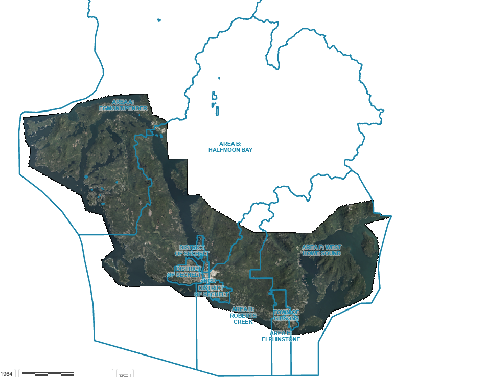
An orthophoto map of the southern Sunshine Coast, with imagery captured over the spring and summer of 2024, is now available via the Sunshine Coast Regional District (SCRD) website.
A partnership among the SCRD, District of Sechelt and Town of Gibsons, allowed map-makers to "collect higher-resolution imagery in developed areas, to seamlessly blend with standard-resolution imagery across the rest of the region for a smooth and consistent viewing experience," said the SCRD press release.
"An orthophoto is an aerial image that has been referenced to real-world coordinates, so each pixel in the photo can be accurately located. The imagery is typically collected every three to four years to ensure that maps remain accurate and up to date," explained the release.
Details such as property assessment value, active permits, municipal boundaries and more is available through the map.
See more at scrd.ca.


