Sunshine Coast Search and Rescue (ground SAR) has long had boots on the ground, but now they have an eye in the sky.
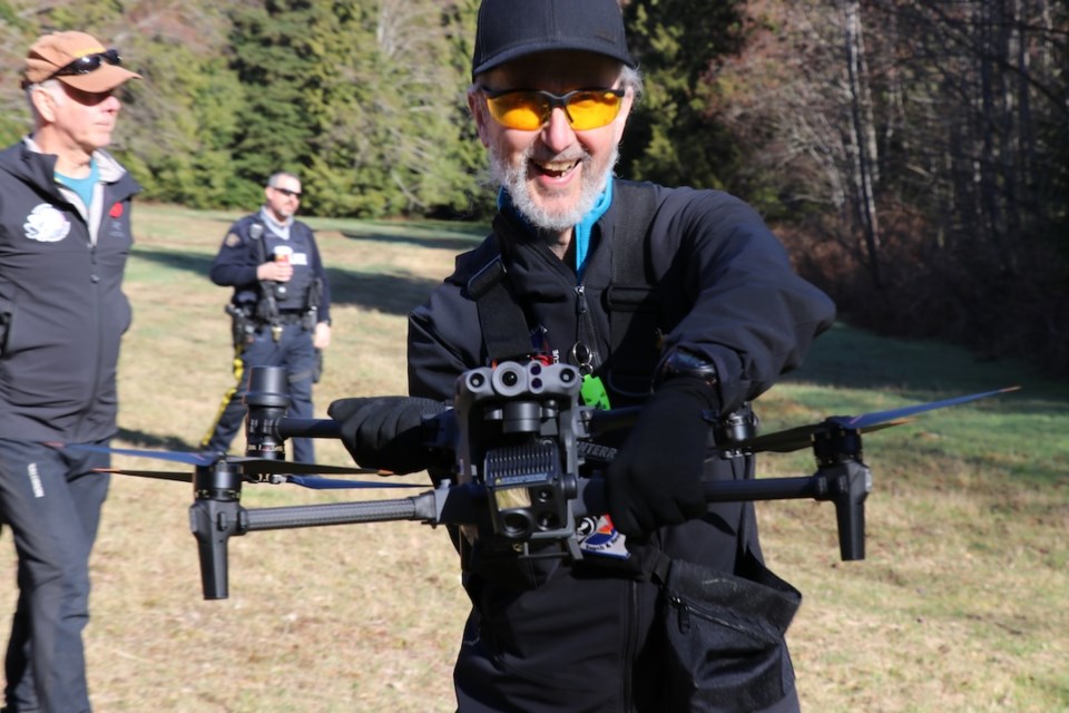
Emergency service and first responder representatives gathered near Langdale in early March for a demonstration from ground SAR’s new drone team, who are now ready to use their remotely piloted aircraft to find missing people, or whatever else may be asked of them as the only such team based on the Coast.
In the morning dew, onlookers stood outside a five-foot perimeter marked in bright orange –– the drone’s propellers are strong enough to sever a finger.
The DJI Matrice 30T, with its four sets of propellers, can travel up to 23 metres a second and theoretically has a service ceiling of 7,000 metres (but it’s legally limited to 122 metres). It’s got three cameras: thermal, wide angle and normal, as well as a laser rangefinder, and is rated to work in wet conditions and up to 25 knots of wind.
The four members of SAR’s drone team have gone through well over 80 hours of training so far, to acquire advanced drone pilot licences from Transport Canada. “We still have a lot more learning to do,” team member Tom Hoppe told the gathered personnel. To fly, the team needs to have a pilot, who handles the drone, and a visual observer, who keeps the machine in line of sight. (With more training, studying and experience they can apply for their “beyond visual line of sight” special operating certificate, but the team’s not there yet.)
While visual observers cannot use binoculars, so long as the communication is good, SAR can leapfrog the trained visual observers in a sort of visual relay. “If you're trying to fly the drone and do observation, you're going to crash the drone,” said Hoppe. “This is why we have one person watching the drone and one person flying, because otherwise you're going to be in a tree.”
At 400 feet, the drone can zoom in to see a licence plate with the camera and it can take 1,000 photos while up in the air. The group is acquiring a program that can analyse the footage for specific colours (say they know a missing person is wearing a chartreuse goretex jacket, it can search its photos for that specific colour). The data is secured according to government storage regulations.
The first demo flight was programmed, the drone flying on its own, and the second was manual, with a human pilot directing. Gathered personnel watched the drone’s live feed as it focused on the group, and then on one of the other SAR members, off in the woods to demonstrate the drone’s human-spotting capabilities.
The thermal imaging is a helpful tool, though how well that works will depend on time of day. It works well in the morning when the earth is cool and human shapes are distinguishable, but as the sun starts heating up the trees, the heat signatures start to blend. “And then we wait till evening,” said Hoppe.
SAR has loudspeakers and spotlights they can attach to the machine but both influence the battery time –– each set of two batteries lasts for about 30 to 40 minutes, and the team has three sets of batteries. Re-charging a set takes about 40 minutes.
It does have lights so it’s visible in the evening or in lighter fog. (If it goes into mist at higher elevations, they have to consider icing on the propeller). “Just like other aircraft.”
When the drone team is called, they will have to go through a process: check the weather, make sure their pilots are available, depending on where they’re flying possibly file a flight plan with Nav Canada and then do a site assessment. When they do a site assessment, they’re looking for hazards –– height, power lines, structures, private property, control zones and looking for the best vantage point for what they’re trying to find.
Ultimately, “the biggest failure in the mission is the people, because the drone will continue,” said Hoppe. “We get wet, we get cold.”


