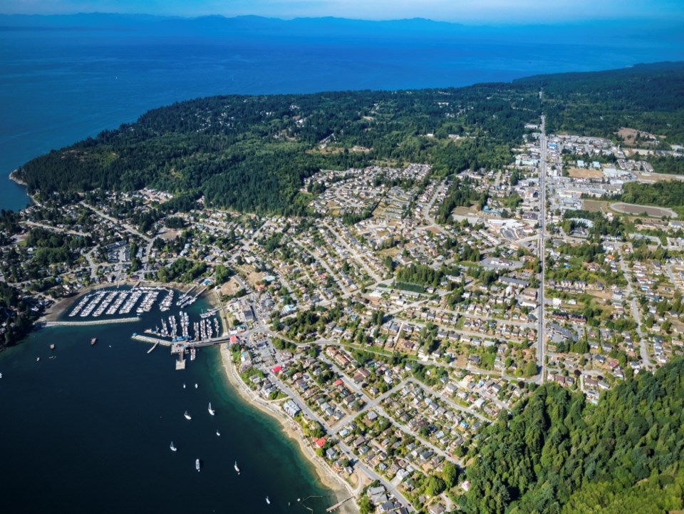
At its July 9 meeting, Gibsons Town Council unanimously approved a motion to endorse the Active Transportation Network Plan, a “long-term vision” for human-powered transportation within the municipality.
The 80-page Active Transportation Network Plan “identifies projects, policies, programs and initiatives to encourage and support active transportation,” which will help the town apply for grants, prioritize routes and improvements, and inform the upcoming Transportation Network Plan and Parking Strategy and Official Community Plan update, said a staff report.
Sarah Freigang from contractor Urban Systems, told council members at a June 18 committee of the whole meeting that through public engagement over the past year, staff heard a lack of infrastructure and its poor condition, as well as traffic speeds and noise, were obstacles to active transportation. The last census shows three out of four trips in Gibsons were completed by vehicle.
The report also identified user conflicts between cyclists and pedestrians on multi-use pathways and problem intersections causing safety concerns as active transportation challenges. The report identifies 11 intersections in the town’s jurisdiction with safety concerns and nine within Ministry of Transportation and Infrastructure [MOTI]’s jurisdiction and suggests improvements for each.
Opportunity beckons though in the walkability of Gibsons – in both distance and scenery.
The report recommends expanding the pedestrian network, encouraging and preserving connections, including formalizing shortcuts and informal paths, and calls for consistency in cycling paths (type and signage). It also recommends separated multi-use or bike paths on arterial roads and neighbourhood bikeways on local streets with fewer than 1,000 vehicles a day and 30 km/hr speed limits. The report noted this may require reallocating street space and limiting street parking.
Addressing the quandary of the Gower Point Road connection to Gospel Rock, authors weighed the safety concerns and critical nature of the municipality’s west access and said further study would be needed. Among the public polled, a roadside multi-use pathway was picked as the most desirable option.
Among the safety improvements recommended was looking at reducing speed limits in the municipality.
With a heavy emphasis on “all ages and abilities” infrastructure, the report also recommends “an intersectional, equity-focused lens” to “help ensure all community members are reflected in the planning, design, and implementation process of active transportation projects.
“This means being inclusive of and prioritizing people of all ages, abilities, backgrounds, and identities, especially groups who have been structurally and historically excluded from transportation planning processes.”
Other recommendations include enhanced lighting where appropriate, more signage, support of public art, more bicycle parking and end-of-trip facilities, looking at e-bike sharing and improving transit.
At a June 18 meeting, Mayor Silas White noted the focus on Highway 101.
“We can do all the work we want on our own roads, but they all kind of end up leading to the highway or at least going across the highway.”
MOTI was a part of the plan’s stakeholder meetings, said Freigang, and noted the plan addresses the highway but further work with MOTI is required.
Town staff said MOTI is looking at corridor improvements but, “there’s nothing that’s definitive at this point.”
Staff told the committee June 18, that next steps would be looking at “synergy” between the active transportation plan and the sanitary and water capital plan, looking for where replacement of underground infrastructure can align with active transportation infrastructure.
The plan’s budget was $80,000, half of that from a grant.
With files from Sandra Thomas


