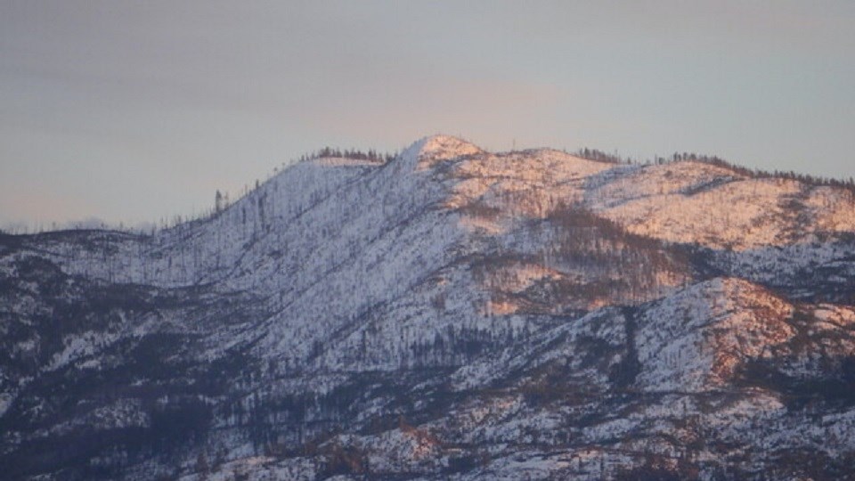
It’s something Environment Canada is watching and preparing for more of in the future.
Weather systems that carry warm air inland, bringing not just rain, but also pushing up freezing levels, causing rapid snowpack melting.
The atmospheric river hitting B.C.’s central coast will also pose a risk in the Interior.
One system is already in place above B.C. and had dumped as much as 70 millimetres of rain on the Fraser Valley since Monday. It is expected to continue through Wednesday night, then a less intense storm is forecast to hit the province on Friday.
“This event is not just coastal, and it is spilling over into the southwest Interior,” Environment Canada meteorologist Armel Castellan told reporters on Tuesday.
“These conditions really need to be taken seriously. We need everybody to listen to the forecast, follow the warnings and be cognizant of any danger you put yourself in.”
Forty to 50 millimetres of rain are expected in the Coquihalla Summit area, with amounts lessening further inland.
Castellan said the concern for places like Merritt and Princeton is not in the rain itself, but swollen rivers as a result of intense rainfall hitting the Coastal Mountains. There are flood watches in effect for rivers including the Coldwater, Tulameen and Similkameen.
“Those are the regions that could have an impact downstream,” he said.
“And of course, that’s not to mention the continued elevated risk of debris flows and landslides we saw over the weekend that we obviously saw at the middle of the month.”
Merritt and Princeton were both hit with significant flooding following a storm that began on Nov. 14.
Castellan was asked if there’s a risk that highways further east, including those connecting B.C. and Alberta could be cut off by avalanches or other events.
"With the freezing levels climbing as high as they are this deep into fall and early winter, in fact, there are ramifications for the snowpack at higher elevations."
"Avalanche Canada and the Ministry of Transportation and Infrastructure are obviously looking at that very closely. We provide them with the weather elements and we are in consultation with them throughout the winter so that all best-case decisions can be made according to the potential avalanche risk.”
He highlighted the importance of partnerships between Environment Canada, the BC River Forecast Centre, as well as mountain communities and local experts.
“We are very keenly aware of the rain-on-snow additional impact that we have seen recently, that we’ve seen in the past,” Castallen noted Chilliwack has had flooding in recent years after big snow events, right down to sea level.
“These are things that are part of the thinking behind how we issue forecasts because it certainly does include that component of rising freezing levels, the warmth that’s associated to these atmospheric rivers, and not independently from just the rain component in and of itself. Without question, these are cascading and multi-hazard events and that is part of how we have to adapt to the future climate, and that’s a moving target.”
He added that this emerging threat will be continually evaluated as Environment Canada modernizes its forecasting systems.
The avalanche hazard is high to extreme in almost all regions of B.C., including through the Rogers Pass along the Trans-Canada Highway.


