The number of active wildfires in British Columbia has jumped by more than three dozen to about 140 amid a heat wave, which is creating prime conditions for fire.
There are two wildfires of note, meaning they are either highly visible or pose a threat to public safety, located in northwestern B.C.
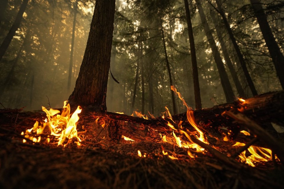
The BC Wildfire Service says smoke from the two-square-kilometre Little Oliver Creek fire will be visible from Highway 16 and the Terrace, B.C. area, while the growing 3.5-square-kilometre Hook Creek fire is burning out of control to the north, near the Yukon boundary.
In northeastern B.C., the Fort Nelson First Nation issued an evacuation order Tuesday for its Kahntah reserve, telling residents they had to leave by boat due to the threat of an out-of-control blaze discovered the day before.
The wildfire service has announced a provincewide campfire ban is set to take effect Friday at noon, with the exception of the Haida Gwaii forest district.
The fires come as a days-long heat wave begins moving away from the coast toward the Prairies, while Environment Canada heat warnings remain in effect for northeastern B.C. and parts of the central and southern Interior.
The wildfire service's map shows a cluster of more than two dozen new fires sparked in the Cariboo.
In Quesnel, west of the new fires, Environment Canada's forecast says Wednesday's temperature will peak at 31 C with risk of a thunderstorm.
Temperatures lowered to more seasonal levels in Metro Vancouver and on Vancouver Island by Wednesday, and a cold front is due to sweep across northern B.C. on Thursday.
But the mercury is expected to hit 39 C in Kamloops Wednesday with temperatures in the mid-30s expected to persist in the Interior city until at least Tuesday.
A situation report posted by the BC Wildfire Service says the cold front in northern B.C. is expected to generate strong winds, thunderstorms and the potential for dry lightning in the region plagued by drought.
The bulletin says the service is anticipating new fire starts in the region.
The service says the system won't be as strong in southern parts of B.C., but the southern and central Interior may experience increased winds and isolated dry lightning.
The service adds that its personnel are constantly monitoring and assessing conditions, and resources are deployed to areas of highest risk.
It said that of the more than 140 active fires as of mid-afternoon on Wednesday, 73 per cent were caused by lightning, 13 per cent were human-caused and 14 per cent had unknown causes.
Environment Canada says 17 daily high temperature records were tied or set in B.C. on Wednesday.
The Trail area was the hot spot for July 10, recording a daily high of 40.5 C and breaking the previous record of 38.4 C set on July 10, 2021.
That's after dozens of daily records fell on Sunday, Monday and Tuesday in B.C.
This report by The Canadian Press was first published July 10, 2024.
The Canadian Press


